
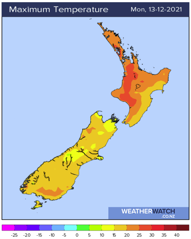
Rain with a fairly breezy north to nor'east wind is the forecast for the Bay of Plenty today as Cyclone Ruby heads towards the country.
"Very humid for the North Island today with northerly quarter winds, downpours possible for some parts of the North Island," says WeatherWatch.co.nz
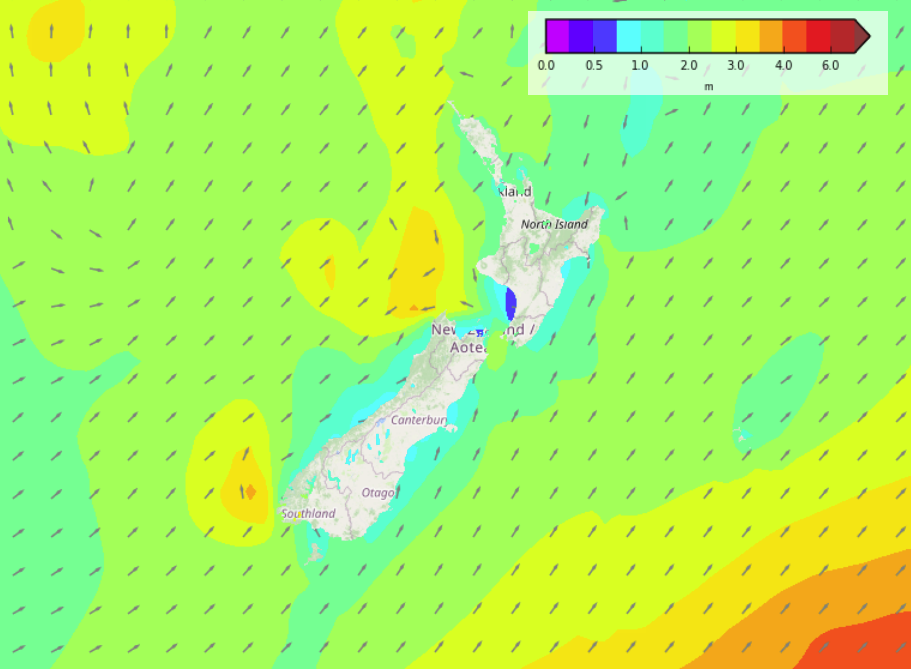
"The South Island is a bit drier but showers are likely in the west and about the Main Divide."
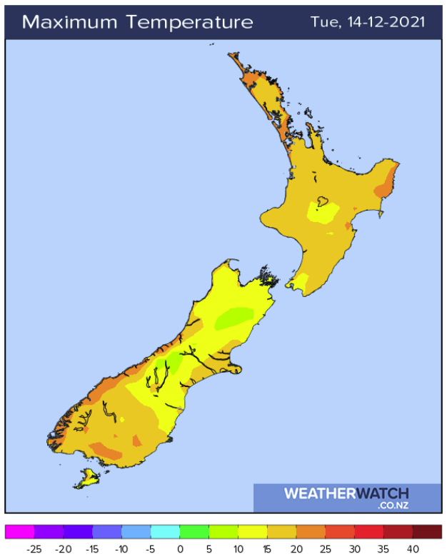
In the North Island, the forecast is for mostly cloudy with showers and humid conditions, some central areas may be dry this morning before showers move in.
"Showers become heavy with a chance of thunderstorms / downpours this morning for Northland then spreading down into Waikato through to Manawatu this afternoon. North to northeasterly winds."
In the South Island, people can expect a few showers for the West Coast, Nelson and Marlborough may have a morning spit or shower then breaking to sunny spells.
"Canterbury has some cloud with coastal drizzle possible. Southland, Otago and parts of South Canterbury have sunnier skies.
:Late afternoon / evening expect showers about the Main Divide, once or two may be heavy then clearing away.
"Winds are mostly light, tending onshore this afternoon. East to northeast winds may become breezy for Canterbury."


0 comments
Leave a Comment
You must be logged in to make a comment.