Severe gales are being forecast for several areas around the North Island, including the Coromandel Peninsula and Kaimai Range.
The MetService has issued a severe weather watch for strong wind.
"A low is expected to pass close to the south of the South Island during Wednesday, spreading a strong southwest flow over the country," says the latest update from the weather organisation.
"Gale southwesterlies are likely in many exposed places and some areas may experience severe gales. Wind Watches are now in effect.
"People are advised to remain up to date with the latest forecasts and check for upgrades or the addition of more areas."
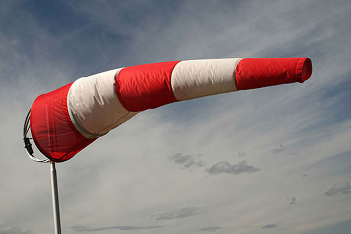
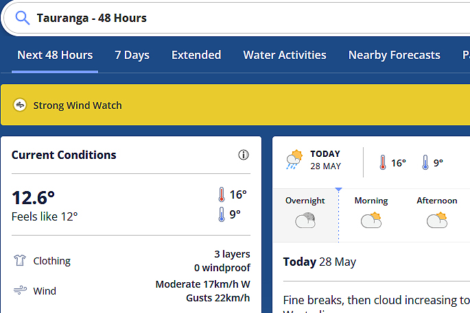 Image: MetService.
Strong Wind Watch
Area: Auckland, including Great Barrier Island, west coast of Waikato north of Kawhia Harbour, the Coromandel Peninsula and the Kaimai Range
Valid: 10 hours from 4pm Wed 29 May to 2am Thu 30 May
Forecast: Southwesterlies may rise to severe gale in exposed places.
Area: Western Taranaki - west of about a line from Urenui to Hawera
Valid: 7 hours from 2:00pm Wed 29 May to 9:00pm Wed 29 May
Forecast: Southwest winds may approach severe gale in exposed places.
Area: Coastal parts of Clutha and Dunedin from the Otago Peninsula southwards
Valid: 10 hours from 8am Wed 29 May to 6pm Wed 29 May
Forecast: Southwest winds may reach severe gale in exposed places.
Area: Stewart Island and coastal parts of mainland Southland
Valid: 6 hours from 8am Wed 29 May to 2pm Wed 29 May
Forecast: Southwesterlies may reach severe gale in exposed places.

0 comments
Leave a Comment
You must be logged in to make a comment.