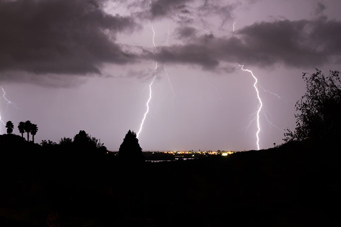
Warnings and watches for heavy rain and severe gales are now in force for northern parts of the North Island including Coromandel Peninsula.
"A subtropical low and preceding fronts move slowly southwards across northern parts of the North Island from Monday evening through to Wednesday morning, bringing easterly gales and periods of heavy rain," a MetService spokesperson said this evening.
MetService is advising residents, particularly in Northland and Coromandel Peninsula to stay up to date with the latest forecasts in case changes are made, or more areas added.
An Orange Heavy Rain Warning is currently in force for Northland for broad-scale heavy rain, however embedded within the rain-band severe thunderstorms may also produce intense localised rainfall of 25-60 mm/h or possibly more in some places between 11pm, Monday and 8am, Tuesday.
The heavy rain warning is in place for Northland continues until 2pm, Tuesday..
"Expect 90 to 120 mm of rain, mostly in the north and east. Peak intensities of 25 to 60 mm/hr are possible in localised thunderstorms and downpours. A severe thunderstorm watch is in place."
A band of heavy rain with embedded thunderstorms was expected to move southwards over Northland overnight Monday and during Tuesday morning.
A heavy rain warning is also in place for Coromandel Peninsula from 4am - 10pm, Tuesday, January 21.
"Expect 80 to 110 mm of rain. Peak intensities of 15 to 25 mm/h late on Tuesday morning and afternoon with possible thunderstorms."
The MetService said streams and rivers may rise rapidly. Surface flooding, slips, and difficult driving conditions are possible.
"Clear your drains and gutters to prepare for heavy rain. Avoid low-lying areas and drive cautiously."
A Heavy Rain Watch is in place for:
Area: Auckland and Great Barrier Island
Period: 15 hours from 1:00am Tue 21 Jan to 4:00pm Tue 21 Jan
Forecast: Periods of heavy rain, and amounts may approach warning criteria. Note, thunderstorms and localised downpours possible, mostly in the north and east of the region.
Moderate chance of upgrading to a Warning.
Area: Gisborne/Tairawhiti about and north of Tolaga Bay
Period: 20 hours from 3:00pm Tue 21 Jan to 11:00am Wed 22 Jan
Forecast: Periods of heavy rain, and amounts may approach warning criteria.
Moderate chance of upgrading to a Warning.
A Strong Wind Watch is in place for:
Area: Northland
Period: 12 hours from 10:00pm Mon 20 Jan to 10:00am Tue 21 Jan
Forecast: Easterly winds may approach severe gale in exposed places.
Low chance of upgrading to a Warning.
Area: Auckland, Great Barrier Island and Coromandel Peninsula
Period: 8 hours from 4:00am Tue 21 Jan to 12:00pm Tue 21 Jan
Forecast: Easterly winds may approach severe gale in exposed places.
Low chance of upgrading to a Warning.


0 comments
Leave a Comment
You must be logged in to make a comment.